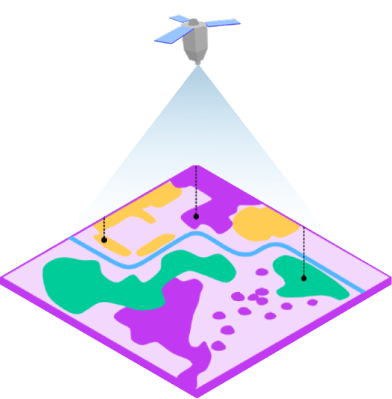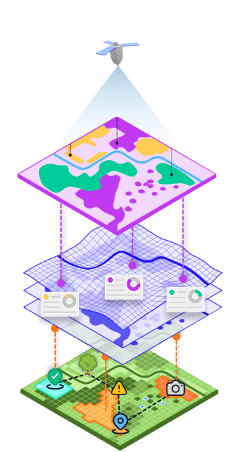
01 Remote Sensing
Top-down analysis from precision satellite intelligence.
DualSight starts with high-resolution remote sensing to identify patterns, assess biodiversity risk, and prioritise where deeper validation is needed across large areas.
- Rapid landscape-scale screening
- Consistent biodiversity and risk mapping
- Scalable monitoring across distributed sites